WUT in an international project on geometrical metrology
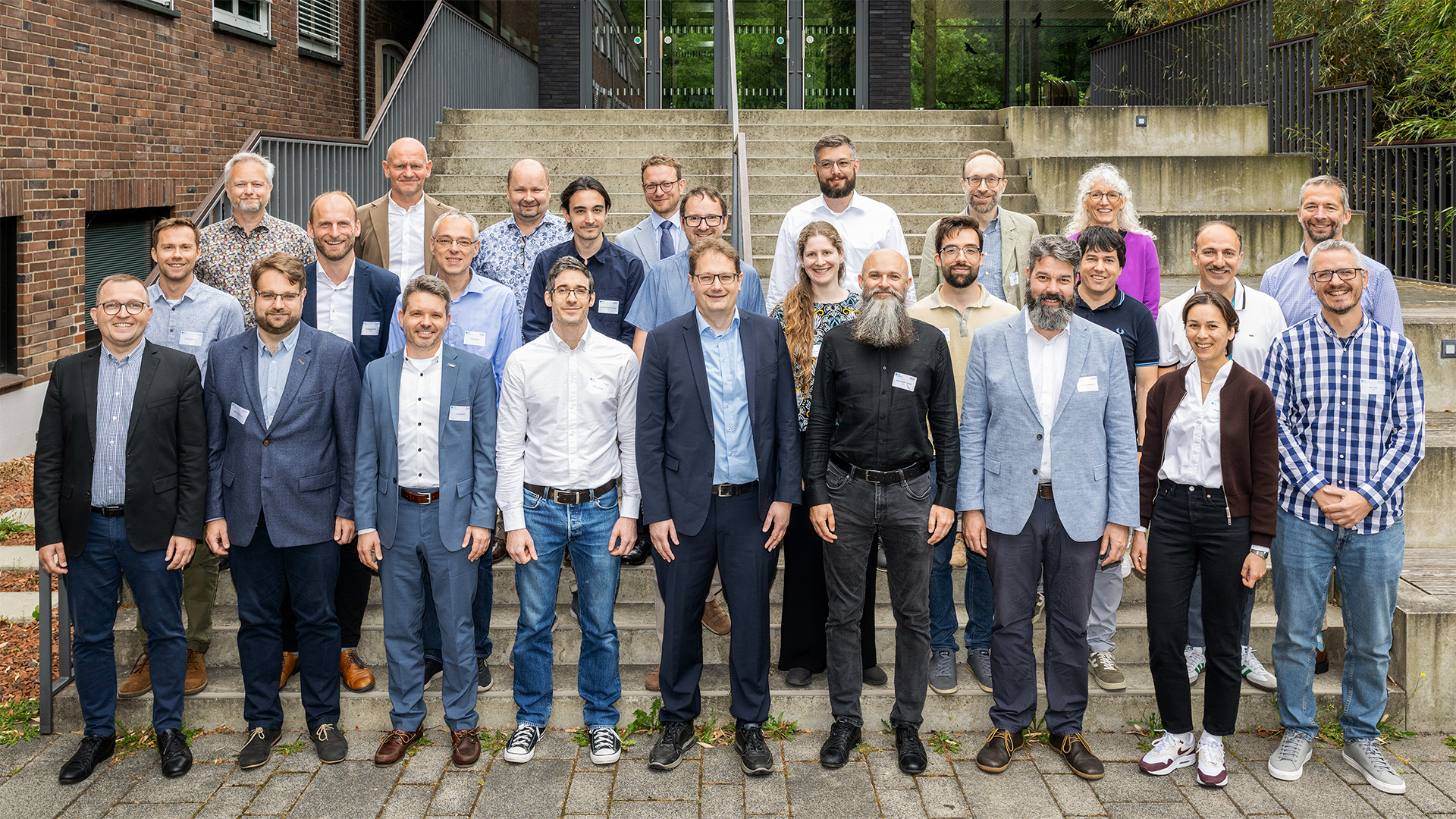
Participants of the ScanClouDT kick-off meeting
Defining quality indicators for point clouds, simulating the operation of terrestrial laser scanners (TLS), and developing shared digital metrological tools – these are the main goals of the ScanClouDT project. The initiative brings together 15 institutions from across Europe, including our University.
As part of ScanClouDT, methods for evaluating measurement uncertainty and processing accuracy of point clouds generated by TLS are being developed, along with the implementation of new metrological digital twins of these systems that will enable the assessment of measurement uncertainty.
The project also includes case studies in the aerospace industry, logistics, and geodesy, allowing for an analysis of the accuracy and correctness of data processing using various algorithms.
The WUT research team focuses on assessing the quality of point clouds generated by 3D scanning systems using different measurement standards. Reference datasets will be developed for verifying software that analyses geometric and radiometric features, covering both simple and complex geometries. Based on the results, guidelines for uncertainty evaluation, object classification, and new calibration and verification services for scanning systems will be prepared.
The kick-off meeting of the ScanClouDT project took place in June 2025 at Physikalisch-Technische Bundesanstalt (PTB) in Braunschweig, Germany. The Warsaw University of Technology was represented by Sławomir Łapiński, PhD, and Jakub Markiewicz, PhD, from the Faculty of Geodesy and Cartography.
Sławomir Łapiński, PhD, on the project:
"On the first day of the meeting, project partners presented their institutions, experience, and competencies. Our unit – the Warsaw University of Technology – showcased its achievements in point cloud processing, terrestrial laser scanning data development, photogrammetry, and point cloud quality assessment. We also presented the Frames software for point cloud analysis, developed by researchers from the Faculty of Mechatronics under the supervision of Prof. Robert Sitnik. During discussions on Work Packages (WPs), special attention was given to WP1 and WP2, in which we are actively involved. We committed to providing measurement data and performing reference scans for selected artefacts. Together with the Central Office of Measures (GUM), we also plan measurements as part of a case study for a geodetic measurement network in Finland.
The second day of the session focused on administrative issues, project impact planning, and the publication strategy. It was decided that all results would be made available through open access. We also discussed the publication and workshop schedule, including the ISPRS Geospatial Week 2027 in Warsaw, which we will co-organise.
The meeting took place in an atmosphere of full cooperation, and the goals set for the coming months represent ambitious yet achievable challenges. As representatives of the Warsaw University of Technology, we are proud to actively participate in an international initiative of such great importance for the future of geometrical metrology."